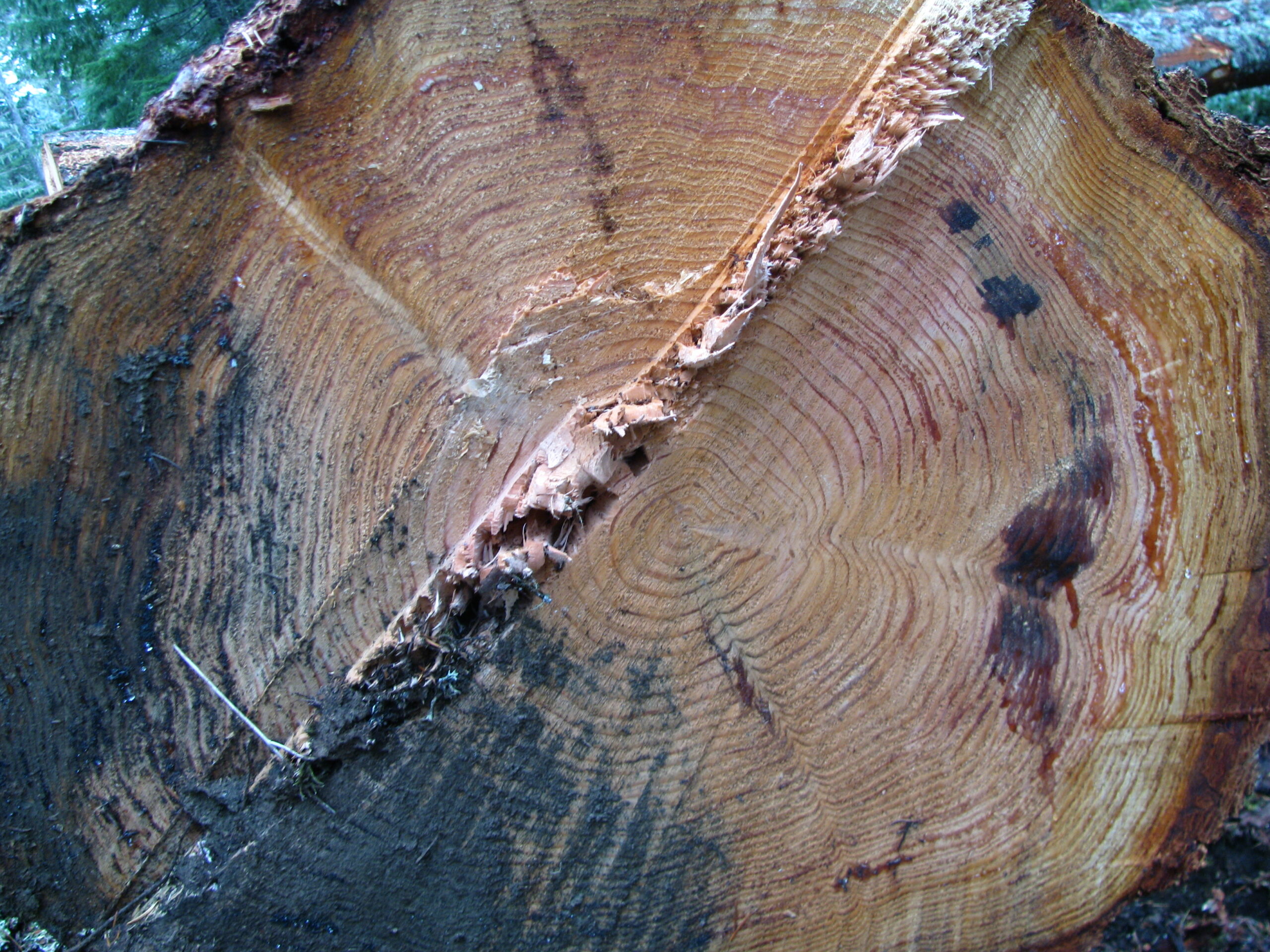
2007 Thin Timber Sale

Released in May, 2006, the 2007 Thin has the largest acreage ever proposed for a timber sale in the Clackamas Ranger District. The final Decision Notice of this project has been issued and logging is assumed to be started.
Resources for Comment-Writing
Roads
The 56.6 miles of road closure ” only applies to Alternative C in the Preliminary Assessment (PA). Alternative B is the Forest Service ‘s proposed alternative
Habitats & Species
T&E Species: Columbia River steelheadUpper Willamette chinookLower Columbia cohoNorthern Spotted Owl
Other Species: Cope ‘s giant salamander (S and M)Oregon Spotted Frog (S and M)American Peregrin Falcon (S and M)Pacific Fringe-Tailed Bat
Associated Files